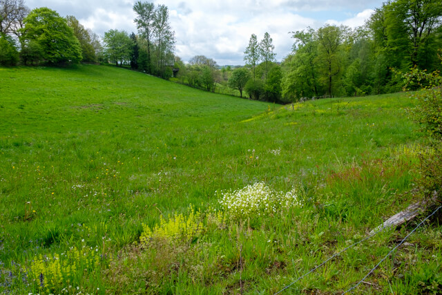
This beautiful walk follows the course of the Nafraiture to the village of the same name. Via the Belgian-French border, the route returns through the valley of the Nafraiture.
Distance: 13 km.
Time: 3h30.
Grade: Moderate.
Type: Circular.
Gps Track: Yes.
Route description: Yes.
Wheelchair: Not suitable.
Dog: Allowed.
Height gain: 282 meters.
Trail: Paved and unpaved.
Marking: See PDF route description.
Hiking shoes recommended.
Advertisement.
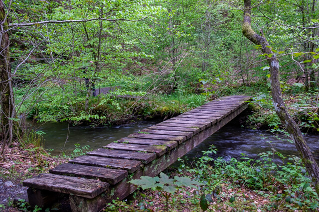
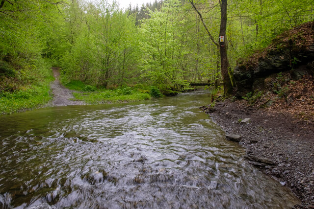
The Ruisseau de Nûssau
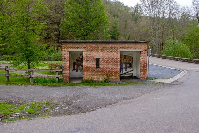
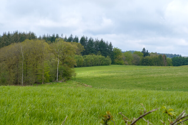
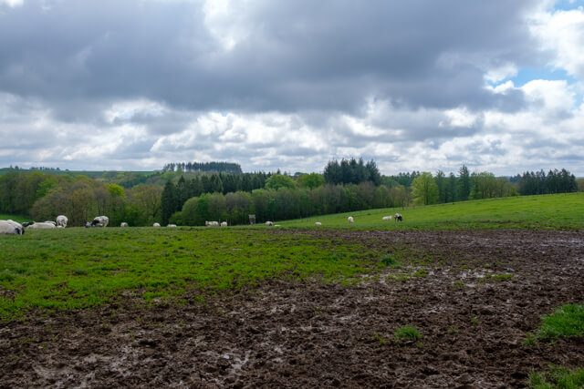
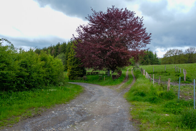
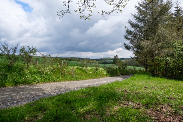
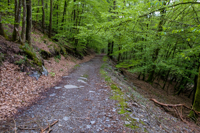
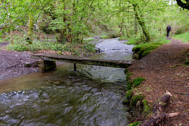
The walk initially follows the route of an old railway line for a short while, then you ascend in the valley of the Nafraiture in the direction of the village of the same name. From the picturesque village it continues in the direction of the Belgian-French border, which you follow for a while. At Barrière De Mointerne you walk back into a mixed forest and follow the Ruisseau de Nûssau and then follow the river in the beautiful valley of the Nafraiture to the starting point.

Download PDf for route description.