


Distance: 14.5 km
Time: 5h00
Grade: Moderate
Type: Circular
GPS Track: Yes
Height gain: 400 meters
Trail: Paved and unpaved
Wheelchair: Not suitable
Dog: Allowed on a leash
Marking: Arrows and own route
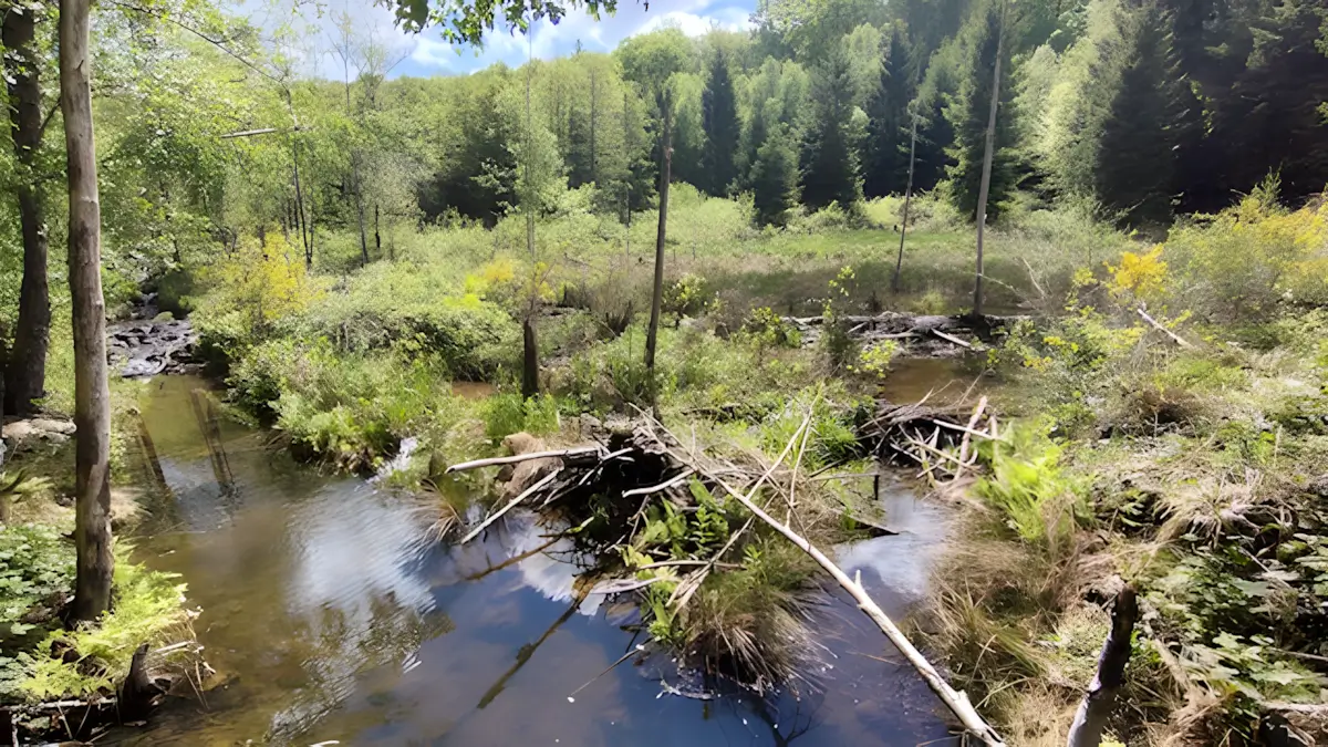
This route combines two classics from Rendeux: the Ourthe promenade and the beaver walk from Marcourt. Start at the Bardonwez watermill at the Robert Lenoir arboretum and walk through the stream valley of the Rau de Quartes, passing several beaver dams.
- Download PDF for directions and map of the walk.
Rau de quartes.
Route description
- Start: Bardonwez Watermill (1918)
- Historic mill in Rendeux
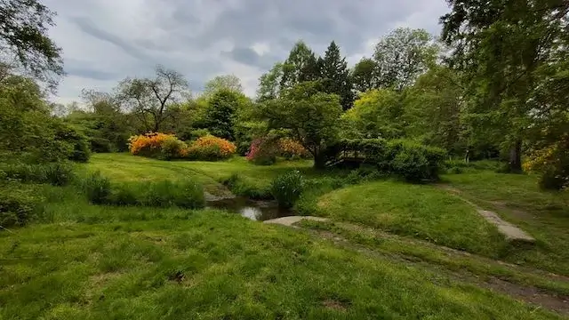
- Nowadays mainly known as the home of the Robert Lenoir Arboretum
- Unique arboretum of around 10 hectares with over 3,000 trees and shrubs from all over the world
- Founded in 1937 by forestry manager Robert Lenoir
- Owned by the Walloon Region since 1991
- The entire site covers more than 22 hectares across four specific sections: « les îlots de l'Ourthe », « le vallon d'Arlogne », « le coteau du Wanny », and « Dessous le Gros Chêne »
- Due to its diversity, various plants bloom in every season
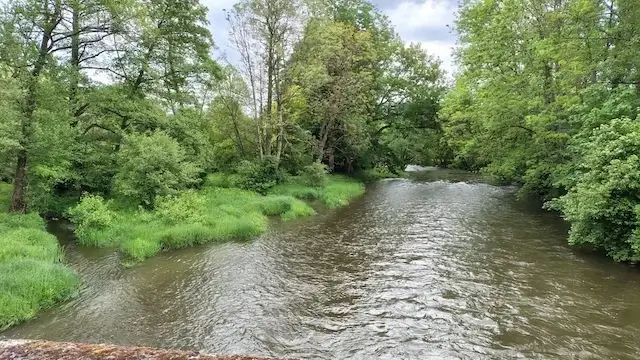
- Route along the Ourthe to Marcourt
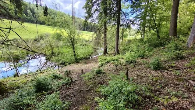
- Hike along the banks of the Ourthe
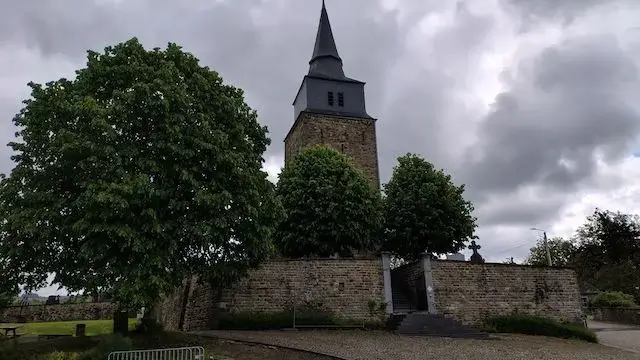
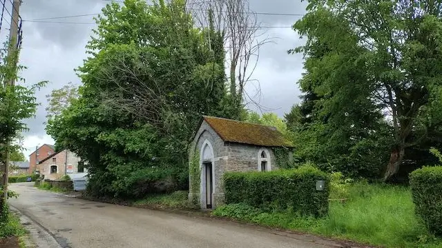
- Pass through Marcourt with its church and cemetery
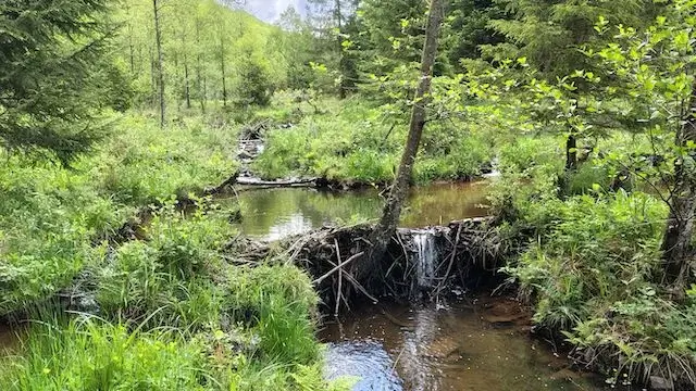
- Rau de Quartes stream valley with beaver dams
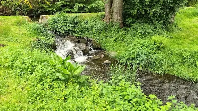
- Hike in the forest and along the Rau de Quartes stream
- Spot gnawed trees and several beaver dams
- Beavers thrive in the Belgian Ardennes
- Reintroduced in the late 1990s
- Now home to more than 2,000 beavers in the area
- The beaver is a herbivore feeding on grass, leaves, and bark
- A beaver family typically consists of 5 animals: the breeding pair living together with their offspring
- Route to Marcouray and return
- Continue hiking towards Marcouray
- Return route through a rolling landscape back to the starting point
- Final section leads back through the arboretum
- A few poisonous plants to admire along the way
Map & Poi's.
Accessibility & Catering.
Starting point:
6987 Rendeux Bardonwez 2 at the watermill.
6987 Rendeux Bardonwez 2 at the watermill.
Parking:
Parking Rendeux Bardonwez.
Parking Rendeux Bardonwez.
Catering starting point:
None.
None.
Catering on the way:
In Marcourt.
In Marcourt.

Downloads.
Send GPS file
Send hiking brochure
Discover more walking routes in Luxembourg.
Les Pairées
This beautiful walk starts at Resteigne castle and goes along the banks of the Lesse to the picturesque village of Belvaux. From the village it continues in the direction of the Les Pairées nature res...
Read moreForges and castles
This walk leads you along beautiful roads and paths through the southern foothills of the gigantic forest of Anlier. From the 16th century, the forges of the region produced products that were sold th...
Read moreHigh above the Ourthe
The town of La Roche-en-Ardenne is picturesque on the banks of the Ourthe, which forms two large meanders in the valley, between the hills. The castle that casts its shadow on the town was already inh...
Read more