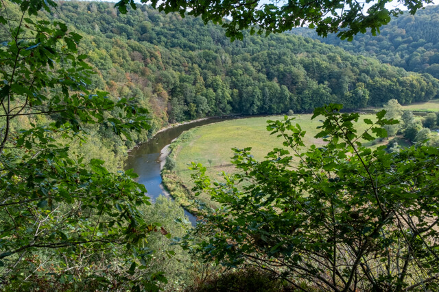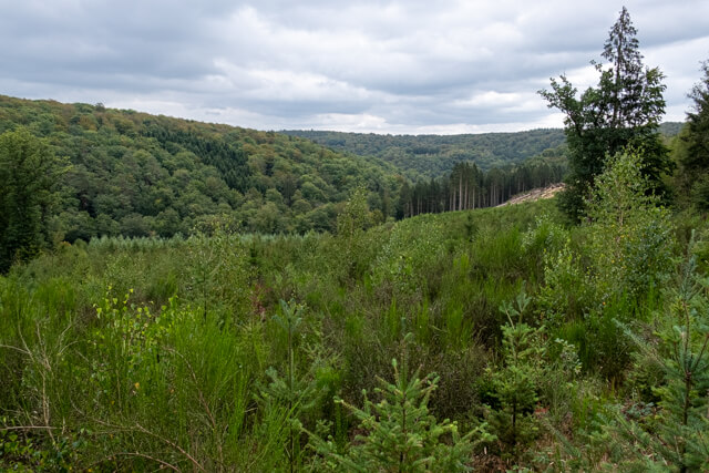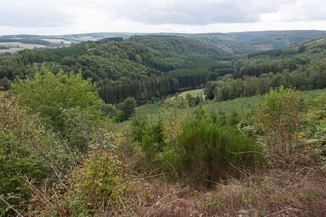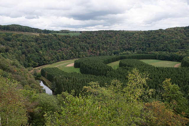
This walk takes you high above the Semois along a beautiful forest path to follow the course of the Ruisseau De Muno afterwards. Wide forest roads lead you to Remacle's cave. The viewpoint above the cave gives you a beautiful panorama of the Semois and the surrounding area.
Distance: 13 km.
Time: 3h30.
Grade: Moderate.
Type: Circular.
Gps Track: Yes.
Route description: No.
Wheelchair: Not suitable.
Dog: Allowed.
Height gain: 310 meters.
Trail: Paved and unpaved.
Marking: None.
Hiking shoes recommended.
Advertisement.
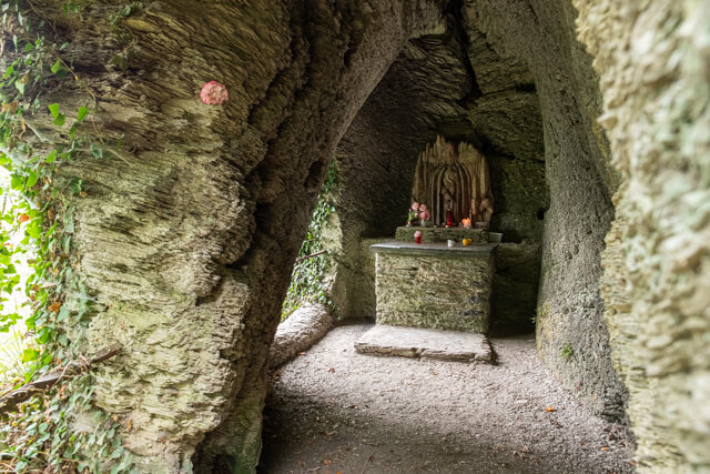
Remacle's cave.
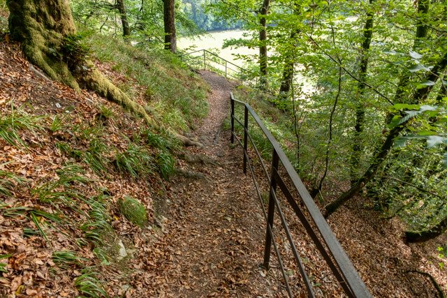
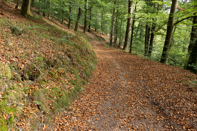
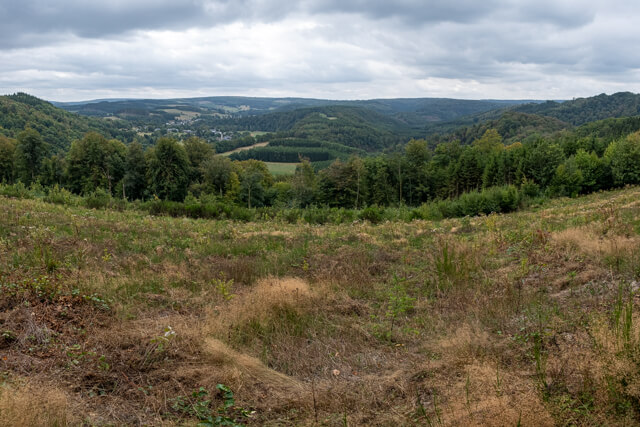
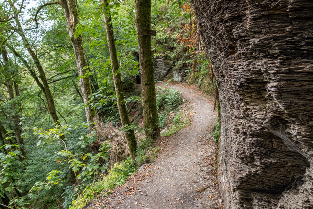
You leave in the Rue de Chapelle and climb up to the chapel. Here you enter a mixed forest and follow the forest path high above the Semois. You descend again and end up on the N884. You follow the N884 for about 900 meters. Here you go back into the forest and follow the course of the Ruisseau de Muno. Unfortunately you don't get to see much of this beautiful stream where beavers feel at home. After you have walked parallel to the N884 for a long time, your route will turn west. Still through beautiful forests you go towards the cave of Remacle. After you have visited the cave you can go to the viewpoint above the cave. For this you have to walk straight up right next to the shelter and not take the wide forest road on the right. At the top of the viewpoint is a large wooden cross. Here you have a fantastic view of the Semois and the surrounding area. The last part takes you along the banks of the Semois. You go through the Saint-Remacle campsite to return to the starting point.