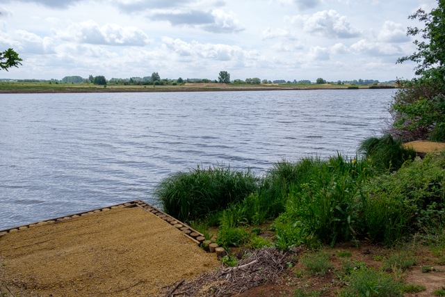
For centuries, the Schulensbroek was one large natural flood plain that was flooded for several months a year. The fields were very fertile, much to the delight of the farmers. Hay from the Schulensbroek was very much in demand. In the mid-seventies, people tried to keep the water of the Demer and its many tributaries within limits with the construction of a holding basin. The Schulensmeer is a fact.
Distance: 13 km.
Time: 3h30.
Grade: Moderate.
Type: Circular.
Gps Track: Yes.
Route description: Yes.
Wheelchair: Not suitable.
Dog: Allowed.
Height gain: Flat.
Trail: Paved and unpaved.
Marking: Yellow and Blue.
Hiking shoes recommended.
Advertisement.
Schulensbroek.
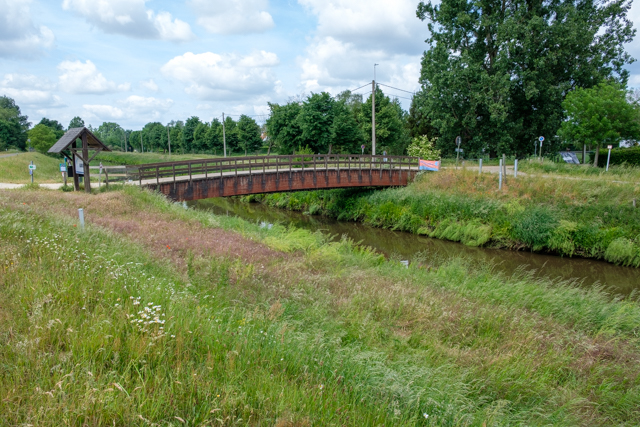
The route starts at 't Vloot and follows the banks of the Schulensmeer. Along the way you walk along the Abtsgracht. You always follow the dike and you pass De Vroente, Diepe Del and Lange Donken. Along the way you always have a beautiful view of the Schulensmeer and the Schulensbroek. You leave the Dijk and go through the Schulensbroek in the direction of the village of Schulen. Along the way you walk a bit along the Herk. From Schulen you walk again through the Schulensbroek to the Schulensmeer. Here you follow the course of the Demer to the starting point.

Download PDf for route description.
Works are currently being carried out in the Schulensbroek area. Consult the site plan before you leave.www.schulensmeer.be.
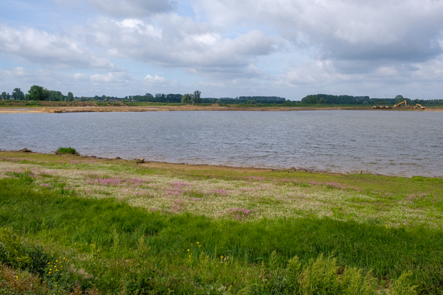
POI 1 - Abtsgracht.
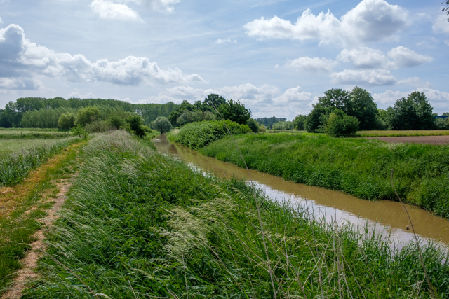
In the west we see the Broek, known cadastrally as “the old cemetery”. Until the 17th century, the church of Donk, a parish that was indebted to the abbey of Sint-Truiden, stood on a land dune, a “donk”: from Latin Dunga or sand hill in marshland. But the church was flooded, and the Donkers tore it down and built their church two miles south, where it was drier. The beautiful winding canal is still called the abbot's moat.
No additional information.
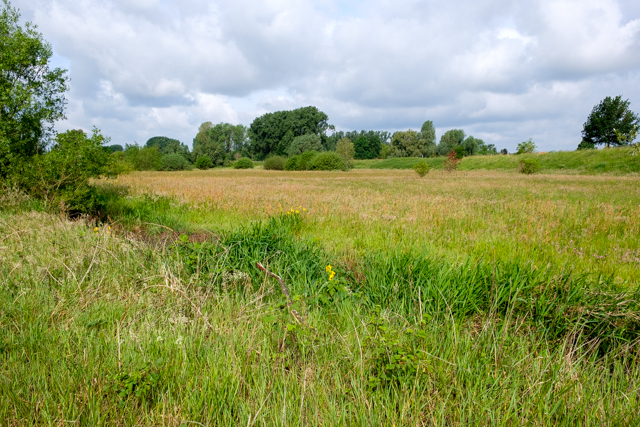
POI 2 - De Vroente.
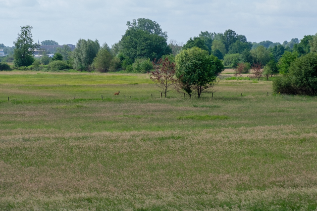
South of this point is the dike of the river Herk, which flows into the Demer a little further along with the Gete. Behind de Herk there is still one of the few free-meadow areas in Flanders: “de Vroente”. This zone is particularly valuable for nature, both in terms of flora and fauna. This is so thanks to centuries of extensive management. That is why it is the core of a Natura 2000 area. So have a good look around: black-tailed godwits in spring and summer, whooper swans in winter, there is always something to see. Look closely at the relief in the landscape: there are still “donken” to be seen.
No additional information.
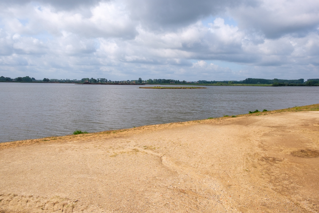
POI 3 - Diepe Del.
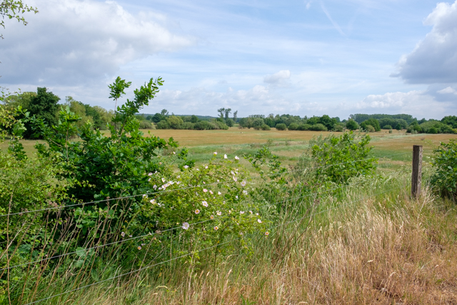
Here we see the Schulensbroek in all its glory. The meadows are about the lowest of the whole area; the local name is "Deep Del", which is etymologically related to Doel, for example. It is a stopping place for geese. In the past, they could only be seen in winter, but in the meantime they breed in the area and spend the summer en masse. On the other side, the island used to be on the lake where geese nested (the fox couldn't reach it), and where cormorants usually rested in the trees (marked by the white excrement of these fish eaters). If you are very lucky, you can see the osprey at work. The island on the lake has meanwhile made way for a wetland zone as part of the Life Delta project.
No additional information.
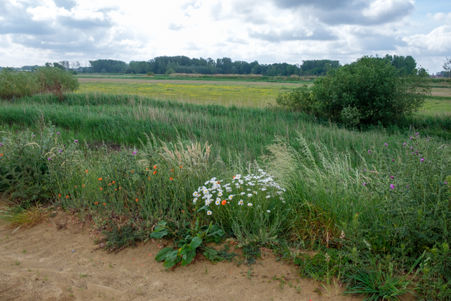
POI 4 - Lange Donken.
We continue our way over the dike to the village of Schulen. On the left the holding basin with the lake, on the right the Lange Donken. In the event of flooding, a few oval sandy embankments remain visible (worn dunks). This area is a paradise for meadow birds. Many pools were also constructed by the Friends of the Schulensbroek for the reptiles. Point your binoculars at meadow posts and barbed wire and… enjoy.
No additional information.