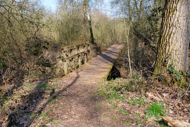
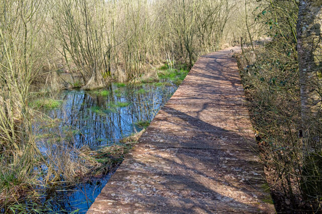
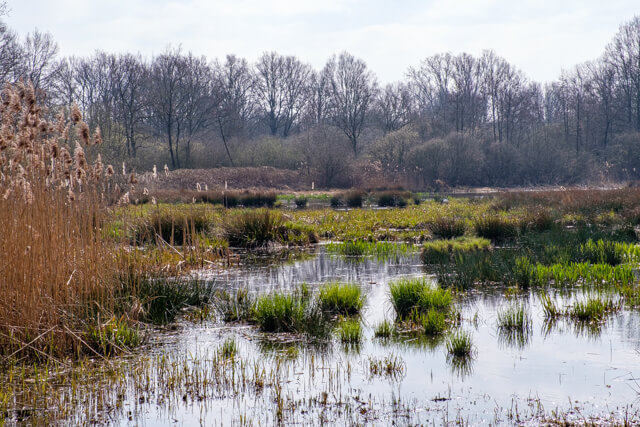
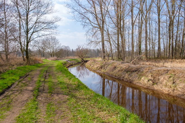
This walk in the Stramproyerbroek passes wet marshes with alder and willow thickets, but also through oak forests. Along fields and meadows you reach the nature reserve De Zig, a vast swamp area between the Abeek and Lossing.
Distance: 12.7 km.
Time: 3h00.
Grade: Moderate.
Type: Circular.
Gps Track: Yes.
Route description: Yes.
Wheelchair: Not suitable.
Dog: Allowed.
Height gain: Flat.
Trail: Paved and unpaved.
Marking: Green Rectangle - Brown Cross - Red Triangle - Brown Cross.
Hiking shoes recommended.
Advertisement.
Stramproyerbroek.
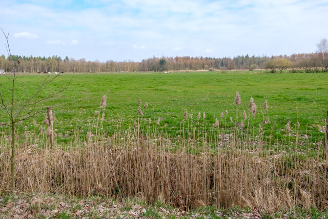
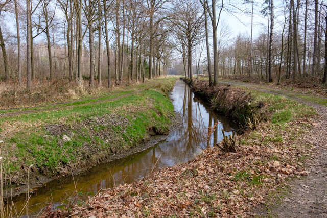
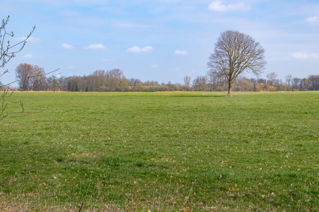
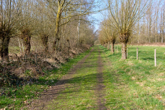
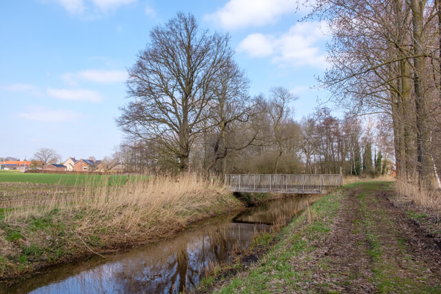
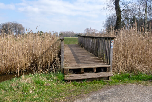
The walk starts in an oak lane along the Abeek and soon you walk through 't Hasselterbroek. Through a more open landscape you walk further along the edge of the Urlobroek and then on rural paved roads in the direction of the nature reserve De Zig. The Zig was once part of a vast swamp area along the Belgian - Dutch border. The pond area between Abeek and Lossing has been restored after it was drained and planted with poplars in the 1950s. From the new bird watching hut on the edge of the area, you have a chance to spot one of the residents such as a water rail, bluethroat or grasshopper warbler. The route continues along the Lossing, a drainage channel dug in the 19th century to drain the “brooks” for agricultural use. On the way you walk past border marker 159, one of the 388 cast-iron border markers that were placed in 1843 to mark the border between the then still fledgling Belgium and the Netherlands. The last part follows the Abeek again to the starting point.

Download PDf for route description.
Some paths can be soggy.